Blog
Filter category5 benefits of using large format printers to create GIS topographic map documents

Technical Printing
|19 jul 2023
GIS topographic map documents serve an important purpose in various fields, providing valuable insights into the terrain and supporting informed decision-making by topographers. These maps fuel the industry-wide requirement for topographic data to be transformed into high-quality prints because they make it much easier to effectively interpret this data to achieve results.
In this context, large format printers offer a range of advantages. With their ability to produce high-resolution output, accommodate different size requests, and render data with precision, large format printers are a top choice for creating any GIS topographic map.
Moreover, large format printers excel in replicating data on various paper media, thereby offering multiple visual representations of topographic data and underscoring the value of these printers in enhancing the quality and effectiveness of topographic mapping endeavours.
What Are Topographic Maps?
Topographic maps in GIS represent elevation over a geographic area. These maps use elevation contour lines or shading to display precise elevation differences, along with other surface features like roads and settlements, lakes and rivers, mountains, and coastlines. Topographic maps are the result of detailed surveys and satellite images. They often help with large-scale projects like land development and ecological conservation efforts.
The Connection Between GIS and Topographic Maps
The Importance of Accurate Representations in Topographic Map Data
Understanding the Role of Large Format Printers for GIS Topographic Map Printing
GIS topographic map files are not just digital features. They are very often printed to serve as guides and visual aids for the operations of other businesses. Large format printers make it possible to prepare large-scale maps for industrial or ecological use. Maps created using topographic information often benefit from having a larger version of the map mounted on a wall or set on a tabletop. The larger size then makes it possible to see refined detail in any given space, even on a large format printer.
The Benefits of Using Large Format Printers for GIS Topographic Maps

In fact, large format printers have a wide range of tools that can help a GIS office print high-quality larger maps. These include:
1. High-Resolution Output
2. Increased Map Size Options
3. Detailed Rendering of Elevation Data
4. Precise Colour Representation
5. Durability and Longevity
Best Practices for Creating GIS Topographic Maps With Large Format Printers
When creating your GIS topographic map files and documents, large format printers are your best option. But the default settings might not be what you're looking for. This means that, by understanding large format printers, you can create higher-quality maps with more detail and durability per inch.
Optimising Your Topographic Maps With Large Format Printer Settings
Resolution Settings
Colour Calibration
Choice of Paper Media
Techniques to Enhance Map Legibility and Visual Appeal
Labelling
Symbolisation
Scale Representation
Reach Out to HP to Receive GIS Map Printing Solutions
Printing topographic maps is an important part of GIS topographic developments. HP large format printers provide the precision and adaptive features you need to print high-quality topographic maps. Contact us for GIS map printing support at any time.
Download our eBook now and discover how innovation is streamlining workflows, producing prints of unmatched quality and increasing IT efficiency like never before.
Download eBook nowExplore plotter printers for your needs

HP DesignJet T850 36-in Multifunction Printer + HP Installation Service for DesignJet Series Entry Level (APJ)
A0 Color HP DesignJet Large Format Printer, Perfect for Business Print, copy, scan Dynamic security enabled printer 25 sec/page on A1 Ethernet, Wi-Fi Touchscreen, Automatic document feeder, Front USB flash drive port, Scan to PDF
MYR 18365.00MYR 17480.00Buy Now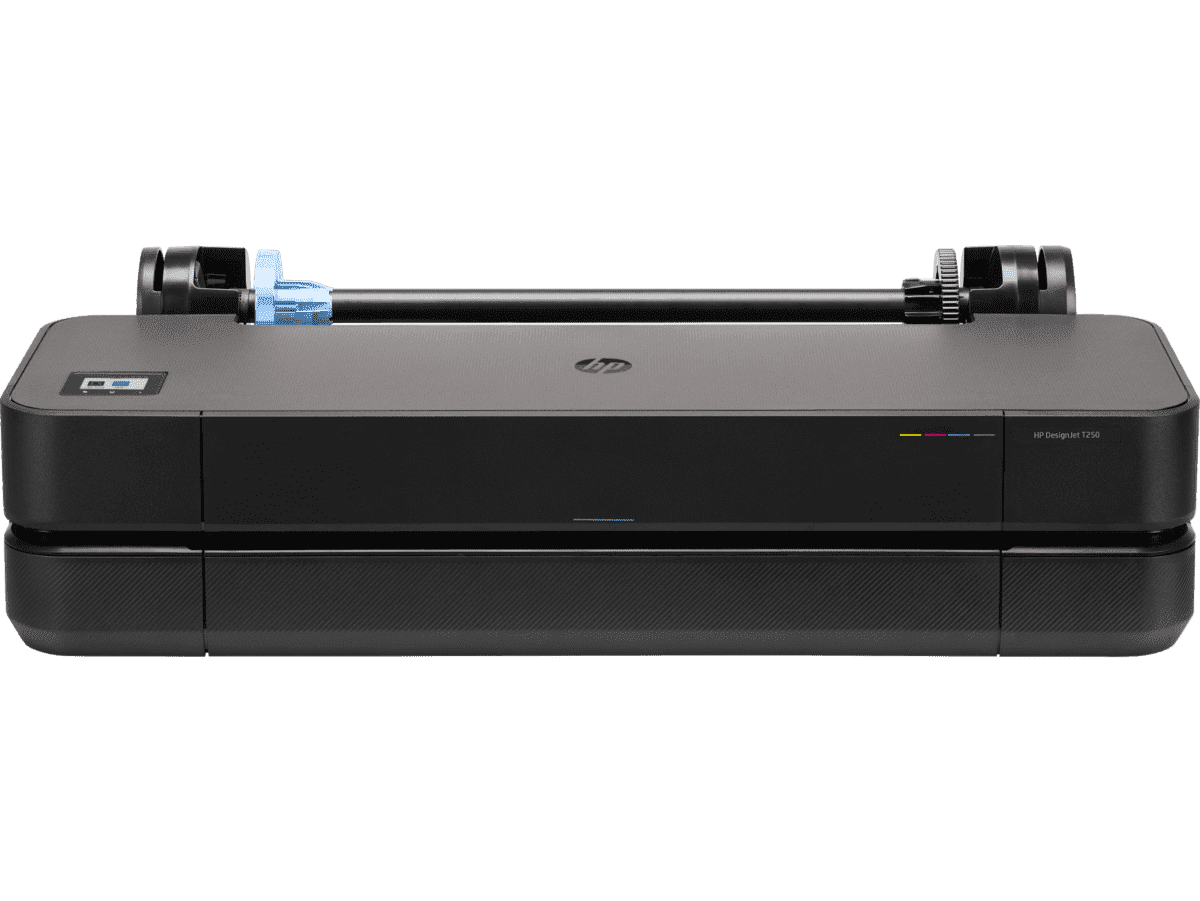
HP DesignJet T250 24-inch Compact Large Format A1 Plotter Printer + HP DesignJet T200/T600 Automatic Sheet Feeder + HP Installation Service for Design
A1 Colour HP DesignJet Large Format Printer, Perfect for Small Offices & Business Print 30 sec/page on A1; 76 A1 prints per hour USB, Ethernet, Wi-Fi Touchscreen; Automatic document feeder; Front USB flash drive port
MYR 5860.00MYR 4980.00Buy Now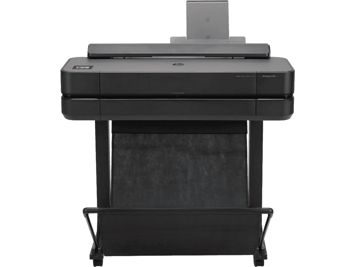
HP DesignJet T650 24-in Printer + HP Installation Service for DesignJet Series Entry Level (APJ)
Functions: PrintAuto sheet feeder: A4, A3; manual feed: A4, A3, A2, A1Print quality color: Up to 2400 x 1200 optimized dpiPrint speed: 26 sec/page on A1, 81 A1 prints per hour[1]Number of print cartridges: 4 (C, M, Y, K)
MYR 8570.00MYR 6880.00Buy Now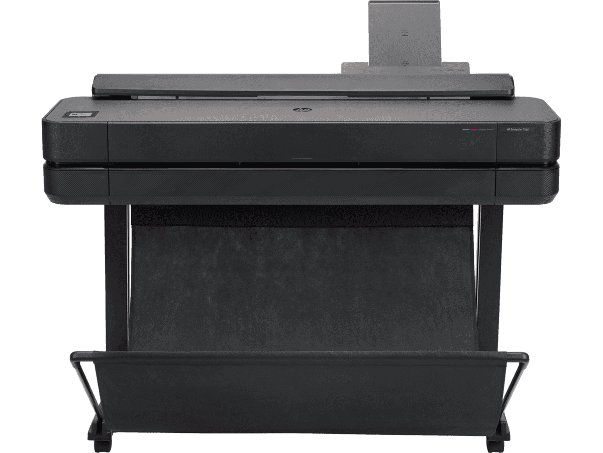
HP DesignJet T650 36-in Printer + HP Installation Service for DesignJet Series Entry Level (APJ)
Functions: PrintAuto sheet feeder: A4, A3; manual feed: A4, A3, A2, A1, A0Print quality color: Up to 2400 x 1200 optimized dpiPrint speed: 25 sec/page on A1, 82 A1 prints per hour[1]Number of print cartridges: 4 (C, M, Y, K)
MYR 11640.00MYR 9880.00Buy Now
Anda mungkin juga suka
 Pencetak Plotter
Print Scheduling Tips for Lower AEC Project Overheads
 Pencetak Plotter
Reducing High-Volume Printing Costs in Malaysian AEC
 Pencetak Plotter
Why using HP MFP for scanning helps reduce rework
- HP DesignJet
Cost-effective printing of safety plans and wayfinding information
- Pencetak Plotter
Plotter care habits that keep your blueprints job-ready
- Kelestarian
Paper-saving techniques when printing AEC blueprints
- How-To
How to nake your printer faster for urgent blueprints
- Alat Digital
Remote printing guide to increase AEC workflow efficiency
- Pencetak Plotter
Cut AEC operating costs with HP Plotters
- Kelestarian
How scheduling plotter saves electricity costs
- HP DesignJet
6 tips to portfolio printing for AEC professionals
- Alat Digital
How HP Click can streamline working processes
 HP DesignJet
Blueprint annotation guide: How to add notes that stay sharp on paper
 GIS
GISHow GIS mapping tools support large format printing for civil engineering
 How-To
A guide to large format printing for architects and designers
 GIS
GISPrinting topographical maps: What AEC professionals should know
 How-To
How to use large format plotters for facility management floorplans
 How-To
Common mistakes and fixes for poor-quality blueprints
 Pencetakan CAD
Common print file types for blueprints explained
 How-To
Common printing mistakes: How to avoid costly errors in large format jobs