Blog
Filter categoryRaster or Vector for GIS Map Printing?

Technical Printing
|3 jul 2023
What Are GIS Maps?
A geographic information system (GIS) stores spatial data representing a city or geographical terrain. But storing the data correctly requires knowing a bit about raster vs vector GIS formats. Each type is fundamentally different and best suited for specific applications.
Why Are GIS Maps Becoming Increasingly Popular?
The Importance of Accurate GIS Map Printing
Understanding Raster Data in GIS: What Is It & How Does It Work?
How Is Geographic Data Represented in Raster Format?
What Are the Advantages and Disadvantages of Using Raster Data for GIS Map Printing?
What Are the Common Raster File Formats Used in GIS Applications?
Understanding Vector Data in GIS: What Is It, & How Does it Work?

How Is Geographic Data Represented in Vector Format?
What Are the Advantages and Disadvantages of Using Vector Data for GIS Map Printing?
What Are the Common Vector File Formats Used in GIS Applications?
Comparing Raster and Vector Data in GIS: Which Is Better?
Raster and vector data in GIS applications work very differently. When choosing between raster vs vector GIS format, which is better?
Data Representation on Maps
Raster Data Showcases as Grids
Vector Data Showcases as Geometric Elements
Nature of the Data
Raster Data Is Usually Continuous
Vector Data Is Usually Discrete
The Application of Raster and Vector Data
Raster Data Is Best Suited for Continuous Phenomena (Elevation, Temperature, or Satellite Imagery)
Vector Data Is Best Suited for Discrete Features (Roads, Buildings, or Administrative Boundaries)
Using Raster and Vector Data for GIS Analysis
Raster Data Is Best Used to Observe Proximity and Spatial Operations
Vector Data Is Best Used for Measurements and Topological Relationships
Data File Size Differences
Raster Data Is Larger
Vector Data Is Smaller
The Scalability of Raster vs Vector GIS Formats
Raster Data Has Limited Scalability
Vector Data Has Infinite Scalability
How to Determine Which Data Type to Use in GIS Map Printing
1. Establish the Purpose of the Map (Analytical or Illustrative)
2. How Much Geographic Data Complexity and Detail Are Required?
3. Identify the Output Requirements: Print Size, Quality, Medium, etc.
4. Consider the Resources and Time Constraints.
User Expertise and Familiarity With File Formats
Using Both Raster and Vector Data in Different GIS Map Printing Scenarios
Scenario 1: Large-Scale Topographic Map Printing
Scenario 2: Creating Thematic Maps for Urban Planning
Scenario 3: Mapping Data for Web-Based Applications
Reach Out to HP for GIS Map Printing Solutions
Still wondering when raster vs vector GIS formats are necessary? Contact an HP sales expert, and tell us about your GIS printing needs. We can direct you to the most suitable HP professional print services to help you fulfill client orders with maximum print quality and efficiency.
Explore plotter printers for your needs
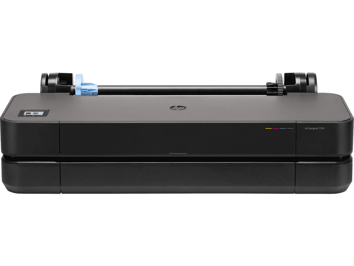
HP DesignJet T250 24-inch Compact Large Format A1 Plotter Printer + HP DesignJet T200/T600 Automatic Sheet Feeder + HP Installation Service for Design
A1 Colour HP DesignJet Large Format Printer, Perfect for Small Offices & Business Print 30 sec/page on A1; 76 A1 prints per hour USB, Ethernet, Wi-Fi Touchscreen; Automatic document feeder; Front USB flash drive port
MYR 5860.00MYR 4980.00Buy Now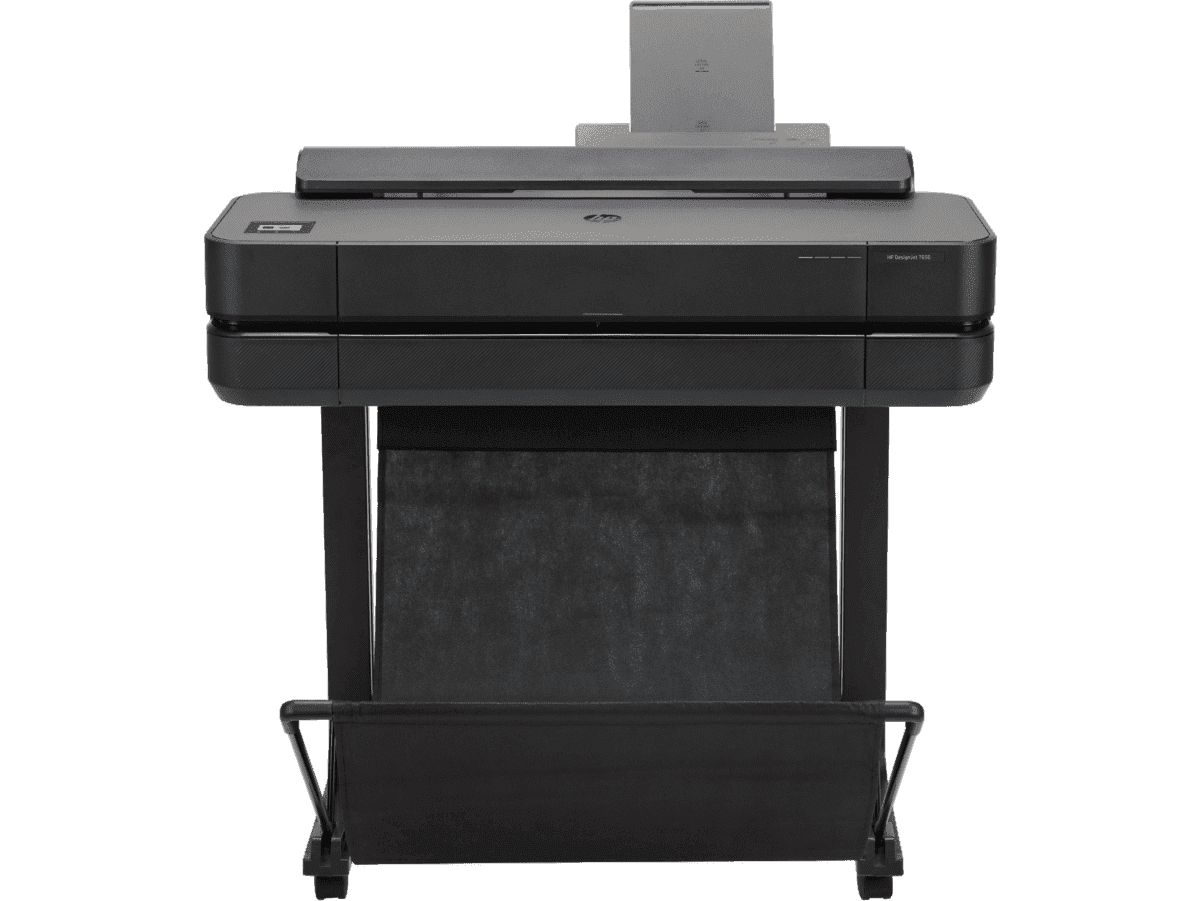
HP DesignJet T650 24-in Printer + HP Installation Service for DesignJet Series Entry Level (APJ)
Functions: PrintAuto sheet feeder: A4, A3; manual feed: A4, A3, A2, A1Print quality color: Up to 2400 x 1200 optimized dpiPrint speed: 26 sec/page on A1, 81 A1 prints per hour[1]Number of print cartridges: 4 (C, M, Y, K)
MYR 8570.00MYR 6880.00Buy Now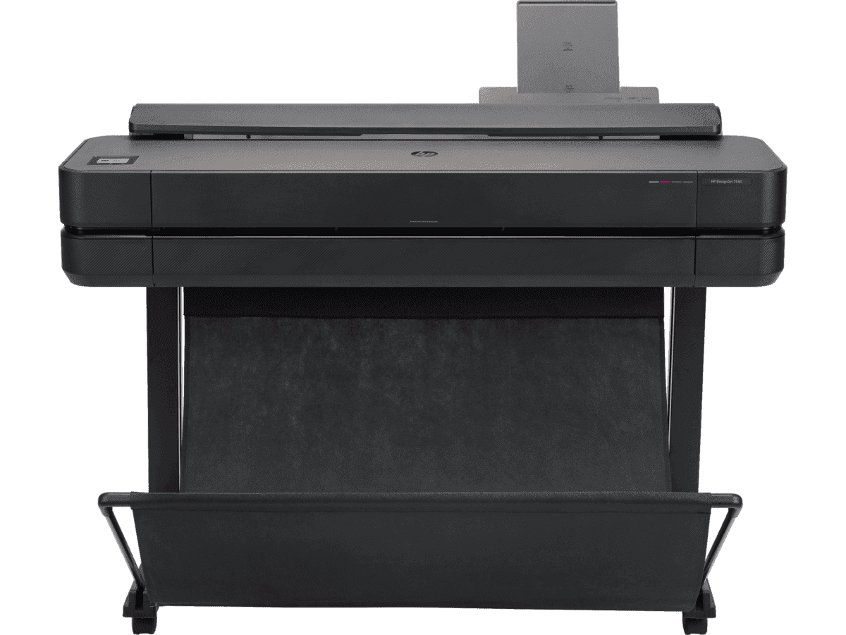
HP DesignJet T650 36-in Printer + HP Installation Service for DesignJet Series Entry Level (APJ)
Functions: PrintAuto sheet feeder: A4, A3; manual feed: A4, A3, A2, A1, A0Print quality color: Up to 2400 x 1200 optimized dpiPrint speed: 25 sec/page on A1, 82 A1 prints per hour[1]Number of print cartridges: 4 (C, M, Y, K)
MYR 11640.00MYR 9880.00Buy Now


