Blog
Filter categoryPrinting topographical maps for AEC projects
Technical Printing
|5 Sep 2025
The AEC industry uses topographical maps extensively. They provide the elevation and terrain information required to make decisions in site analysis, design, and development. Given the crucial nature of these documents, it's paramount that topographical map printing prioritises high clarity and accuracy. This is even more true in the field, where reading conditions may be less than ideal.
This article will detail what AEC professionals in Malaysia need to know about topographical map printing. We'll cover everything from file preparation and resolution standards to media choices and print settings. By the end, you'll be prepared to turn GIS and CAD data into professional-quality prints. With HP DesignJet printers, your team can achieve accurate, detailed, and reliable results for any mapping project.
The Importance of Topographic Maps in AEC Projects
Supporting Surveying and Site Analysis
Accurate topographical map printing plays a big role in the initial project phases. The detailed representations they provide help land surveyors identify natural boundaries and potential obstacles. The elevation data is also crucial for understanding drainage patterns and slope stability. High-quality prints ensure that this data is visible and actionable.
Planning Infrastructure With Elevation Data
Developing infrastructure requires you to have a precise understanding of terrain characteristics. Whether you're designing roads, utilities, or drainage systems, they must work with the natural topography. Workers can use elevation data to determine optimal routing for roadwork and water flow systems. This makes accurate elevation data a requirement for a successful project.
Environmental Studies and Project Impact Assessment
Environmental consultants make use of topographical maps to determine how a project might impact the surrounding ecosystem. The data contained in the maps helps professionals identify wetlands, steep slopes, and other environmentally sensitive areas. A high-quality printed map will not only help make these assessments but also provide supporting documentation for permit applications.
Preparing Files for Topographical Printing
Converting GIS and CAD Data Into Print-Ready Formats
The first step in CAD and GIS map printing is properly converting the GIS and CAD data into something that can be printed. PDF formats provide great compatibility and vector precision. TIFF is a reliable raster output format with great colour reproduction. For the highest precision, native CAD formats like DWG are a great choice, but they may require specialised software for topographical map printing.
Organising Layers and Legends for Clarity
Topographical data contains a lot of information. Splitting that data into layers that can be enabled or disabled makes it easier to present only the information needed for a given task. When organising layers, put primary features like major contours and roads in the most prominent layers. Colour coding is also commonly used in topographical maps. Here, it's important to place a legend somewhere that won't obscure important data while still being large enough to convey the symbols and colours clearly.
Ensuring Proper Scale and Geospatial Accuracy
Topographical maps aren't very useful if the scale isn't accurate. Verify the coordinate systems and projection that the source data uses so you're interpreting it correctly. In Malaysia, RSO is a commonly used coordinate system. When printing, calculate the appropriate print scale. For reference, site planning often uses scales between 1:500 and 1:2000, while regional planning can be 1:10000 or smaller.
Key Print Settings for Optimal Map Output
Recommended Resolution for Line and Contour Precision
To get the crispest lines, you need to print at a high resolution. For good line rendering and text readability, you should set your printer resolution to at least 600 DPI. For maps with photographic elements, a print resolution of 1200 DPI will help preserve those details. As for line weight, major contour lines should be around 0.5 mm to 0.7 mm, while minor contours can be around 0.25 mm to 0.35 mm. For these specifications to print, you'll need to have at least 600 DPI of print resolution.
Media Type Selection Based on Use Case
Your use case will determine the best media type. Standard bond paper, for example, is economical for indoor reference maps, but it isn't durable enough for field use. Heavier paper at 90 gsm or higher provides enough durability for moderate field use while increasing dimensional stability over lighter paper.
For extended field use, synthetic media is king. Materials like polyester resist water and tearing while preserving colour that other media may lose to UV degradation. If the expense of synthetic materials isn't justified, paper with weather-resistant coatings can be a nice middle ground.
Colour Accuracy and Label Legibility
For consistency, establish colour standards that will apply across different map types and topographical map printing sessions. It's best to use standardised palettes for maximum distinction between colours under varying lighting conditions. Whenever possible, choose colours that are easily distinguished by those with colour blindness. When printing text, ensure that the text and its background have a contrast ratio of around 4.5:1 for maximum readability.
Common Mistakes to Avoid in Map Printing

Overcrowded Layers or Faded Contours
The strategic use of layers is the best way to counteract information density. When too much data is presented at once, it all becomes harder to read. Having various versions of the map with various layers enabled helps display only the most important information. Be sure that the layers you choose have distinct enough line weights and colours that a little fading won't impact readability.
Incorrect Scaling That Affects Measurement
Scaling errors are one of the most common printing mistakes. Check the source data to ensure it supports the scale you intend to print at. As mentioned in the preparation section, also make sure that you've properly calibrated your coordinate system using known reference features to ensure your prints are accurate.
Using the Wrong File Type or Driver Settings
Vector-friendly formats like PDF preserve line quality but may not support all symbology types. Raster formats will provide a consistent appearance but lose precision when scaled up. Choose the format that best meets your project's needs. Rather than using default print settings, adjust your drivers to match the file format, media type, and quality you'll be printing with.
HP DesignJet Features for Topographical Printing
The HP DesignJet line of printers offers exceptional quality for topographical printing, making your CAD-to-print workflow run smoothly with the following features.
High DPI Output and Sharp Line Rendering
DesignJet printers offer resolutions up to 2400 x 1200 DPI, providing excellent precision for professional mapping. They have line rendering algorithms to optimise vector output for reduced artefacts and consistent line weights.
Software Support for GIS and CAD Workflows
With easy integration with professional mapping software, DesignJet printers streamline the transition from digital to print. The printers natively support all common industry formats to reduce compatibility issues. Additionally, the drivers include presets for several AEC topographical map printing requirements.
Durable Media Options for Outdoor Field Use
Weather-resistant synthetic materials are ideal for extended field use. Adhesive-backed options or heavyweight papers are also used frequently in the AEC industry. HP DesignJet printers handle all of these media options and more.
Print Topographic Maps With Confidence and Precision
The work of an AEC professional requires extreme precision. That demands a high-quality printer. The HP DesignJet series of printers delivers rock-solid performance with a high degree of accuracy. To get the most out of your topographical maps, take advantage of our DesignJet promo to get one of these precision machines for your company.
Explore plotter printers for your needs
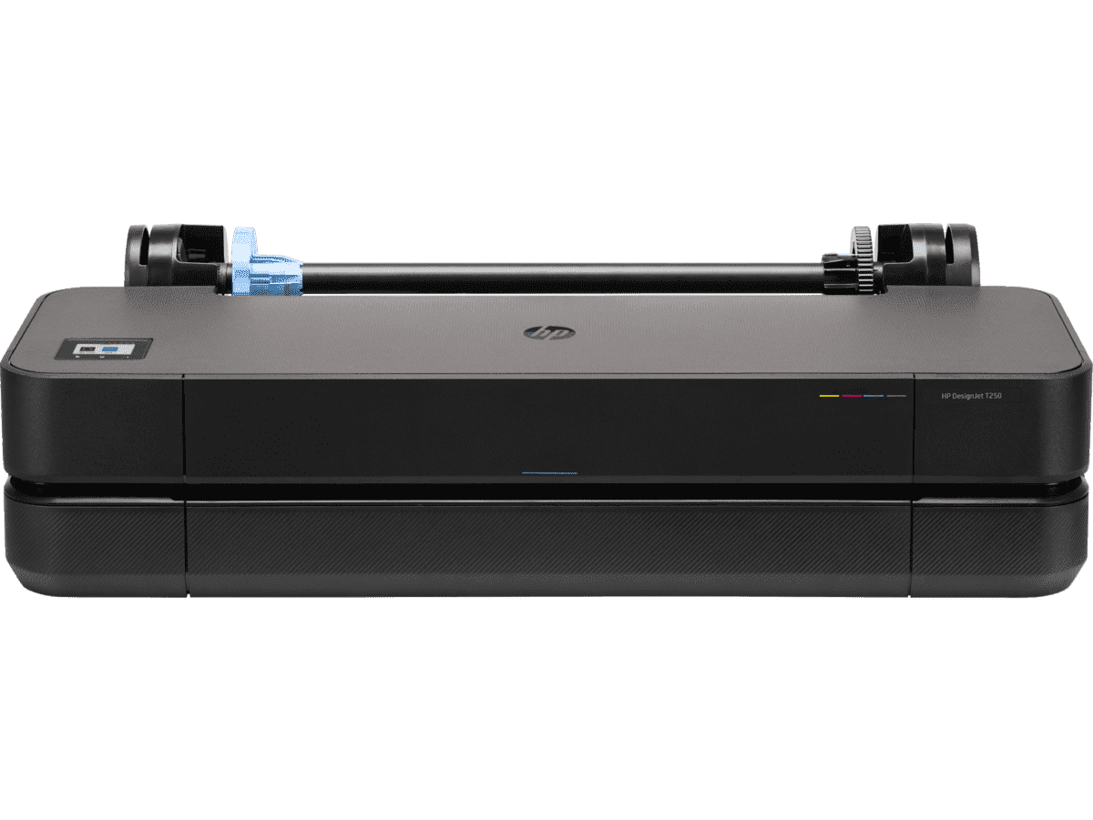
HP DesignJet T250 24-inch Compact Large Format A1 Plotter Printer + HP DesignJet T200/T600 Automatic Sheet Feeder + HP Installation Service for Design
A1 Colour HP DesignJet Large Format Printer, Perfect for Small Offices & Business Print 30 sec/page on A1; 76 A1 prints per hour USB, Ethernet, Wi-Fi Touchscreen; Automatic document feeder; Front USB flash drive port
MYR 5860.00MYR 4980.00Buy Now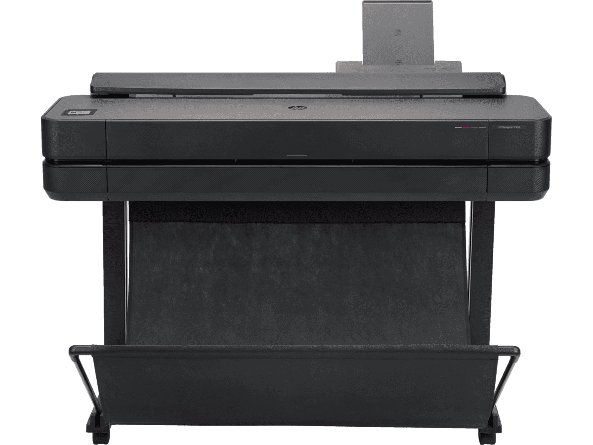
HP DesignJet T650 36-in Printer + HP Installation Service for DesignJet Series Entry Level (APJ)
A0 Colour HP DesignJet Large Format Printer, Perfect for Small Offices, Business & Enterprise Print Sheet feed, Roll feed, Automatic Sheet Feeder, Media Bin, Automatic Horizontal Cutter USB, Ethernet, Wi-Fi HP Click, HP Smartapp
MYR 11640.00MYR 9880.00Buy Now


